About This Climbing Route
Lemosho Route on Mount Kilimanjaro
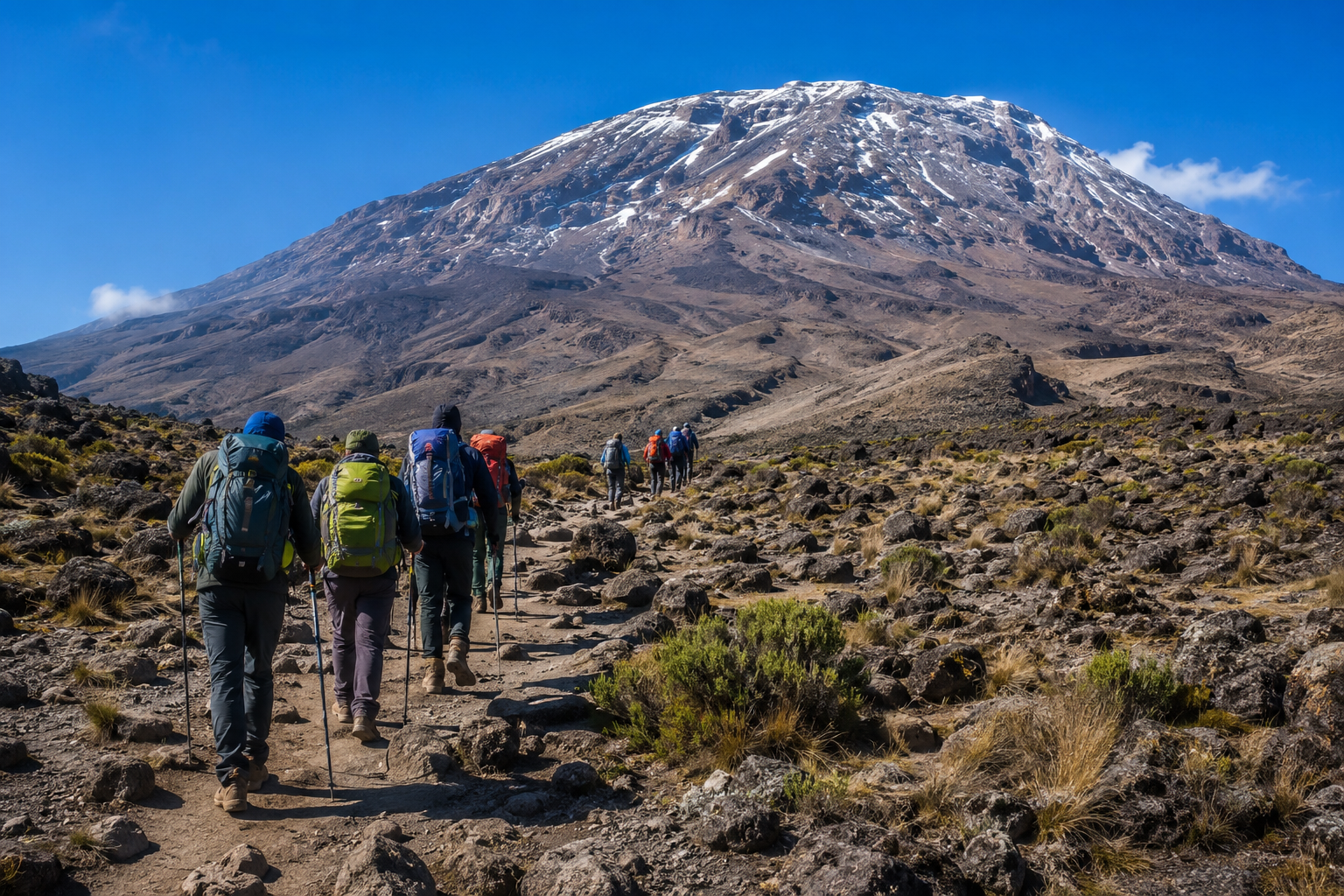
Lemosho begins on Kilimanjaro's western side and is valued for its relatively remote early stages, gradual changes in landscape and flexible opportunities to spend additional time on the mountain. It eventually connects with established southern trekking corridors. The name Lemosho covers multiple itineraries with different overnight camps, so the total number of days must be matched to the specific package.
Londorossi access and western forest
Climbers commonly register near Londorossi before driving onward to a designated walking start. The early hike enters forested terrain and may use Mti Mkubwa camp. This section can offer a quieter introduction than some of the busier gates, although wildlife sightings and solitude are not guaranteed.
Shira Plateau and the southern traverse
Trekkers emerge from the forest onto the broad Shira landscape, often stopping around Shira 1 and Shira 2 or a selected higher camp. The terrain includes volcanic formations, wide skies and distant views. Depending on the plan, the route continues through the Lava Tower area, then toward Barranco and possibly Karanga; these stages vary with acclimatization needs.
High camp, Uhuru Peak and the exit
A summit-focused itinerary usually proceeds to Barafu or an approved high camp for an overnight summit attempt. After walking toward Stella Point and Uhuru Peak, the party normally descends toward Mweka. The high summit effort can be especially tiring after multiple previous trekking days, which is why the recovery and descent stages matter as much as the ascent.
Who Should Choose This Route?
Lemosho is often chosen by walkers looking for a balance of scenery and a slower acclimatization profile. It can be appropriate for people who have enough holiday time to avoid compressing the mountain. Longer itineraries are not interchangeable with shorter ones: compare where the nights occur and how many actual trekking days are included.
Preparation, Altitude and Safety
The first camps can be wet and cold, while later sections cross exposed high-altitude ground. A licensed mountain operator should confirm guides, porter support, food, shelter, communications and emergency procedures. Anyone showing concerning altitude symptoms requires prompt assessment and may need descent regardless of how many acclimatization days are planned.
When to Go and What to Confirm
Many climbers target relatively drier months between January and early March or June and October. Weather remains changeable. Some of our referenced Lemosho listings have confusing day numbering that includes travel days; the route overview explains the corridor, but bookings must rely on an individually verified daily plan.
Frequently Asked Questions
Where does Lemosho begin?
Usually from the western side through Londorossi registration and an assigned Lemosho trailhead.
Is Lemosho longer than Machame?
Many Lemosho itineraries add mountain days and western approach stages, but named package lengths vary.
Does Lemosho use huts?
Standard Lemosho journeys are camping itineraries using designated mountain camps.
This route guide is general planning information. Refer to the linked expedition packages for the actual day-by-day schedule. Exact camp arrangements, park requirements, fees, equipment and services must be confirmed in an Olengugih Safaris quotation before travel.
